Where is Budapest?
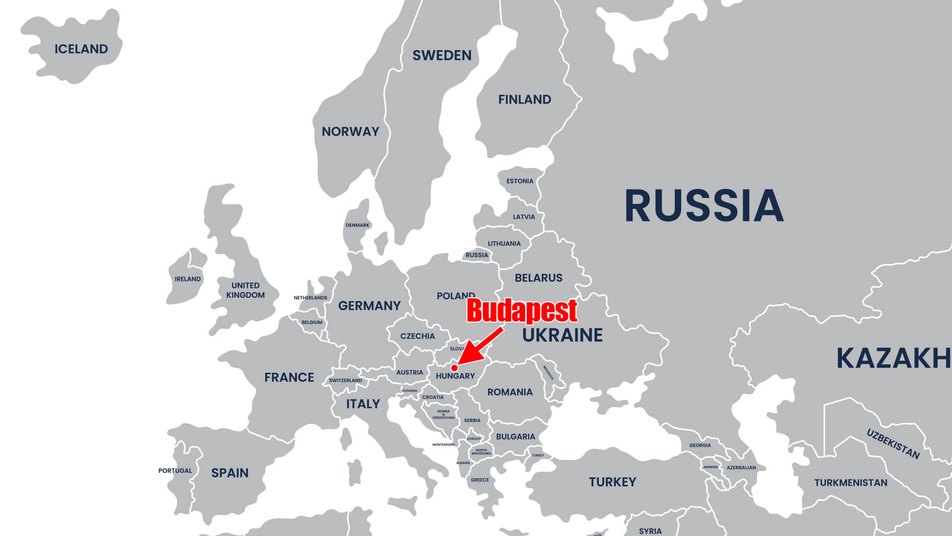
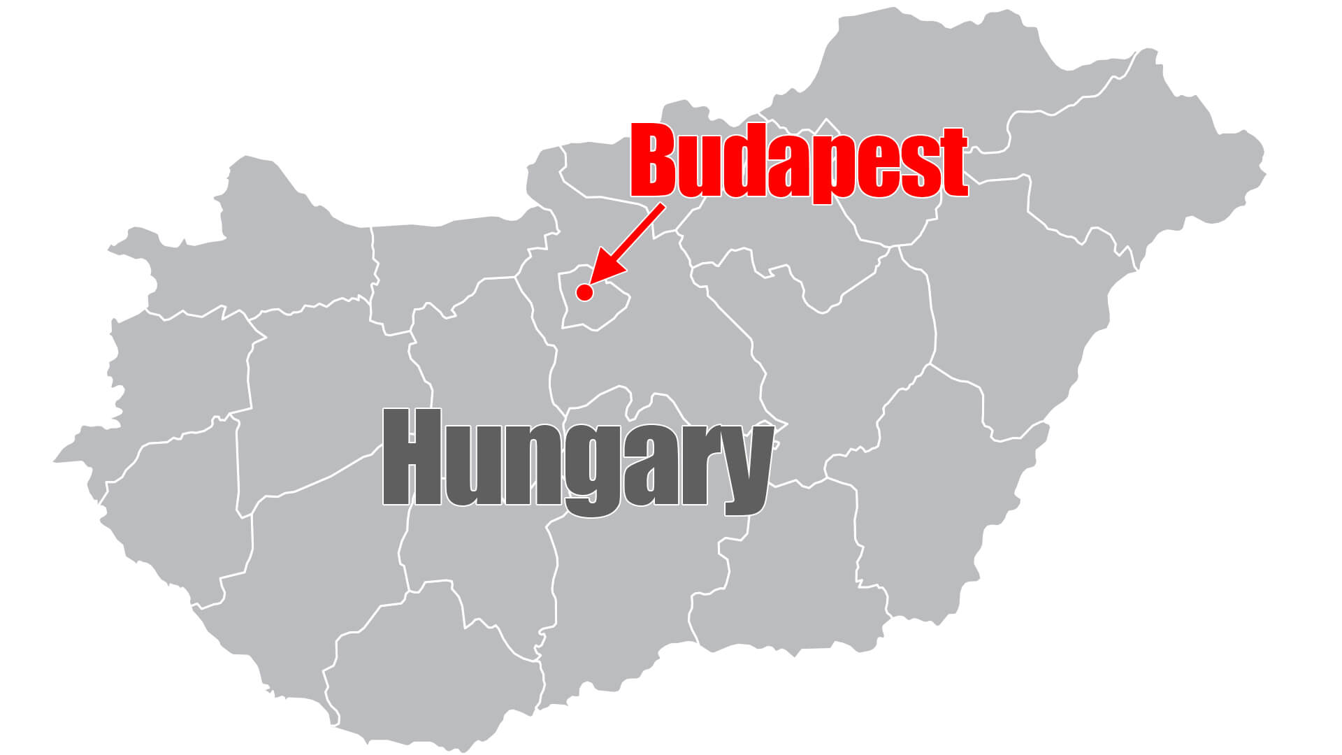
Budapest is the capital city of Hungary, a country located in Central Europe. Hungary is bordered by Austria to the west, Slovakia to the north, Ukraine to the northeast, Romania to the east, Serbia to the south, Croatia to the southwest, and Slovenia to the west. Budapest is situated in the northern part of Hungary, near the border with Slovakia.
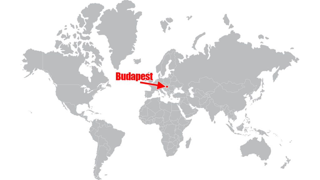
Where is Budapest Located on The World Map?
Where is Budapest Located on The Map of Europe?
Where is Budapest Located on The Map of Hungary?
The coordinates of Budapest are 47.4979° N, 19.0402° E. The city is located approximately 2 hours by plane from other major European cities such as London, Paris, Berlin, and Rome.
Budapest is an important cultural, economic, and political center of Hungary. It’s known for its stunning architecture, thermal baths, vibrant nightlife, and rich cultural heritage. The city is home to several UNESCO World Heritage Sites, including the Buda Castle Quarter, the banks of the Danube River, and Andrássy Avenue.


